How Are Drive Time Polygons Useful?
Imagine, if you will, that you’re a salesperson in Chicago, Illinois. Your schedule allows you an hour to visit potential clients. So you need to know how far you can travel and how many clients you can within this timeframe. A drive time polygon tool will answer these questions for you.
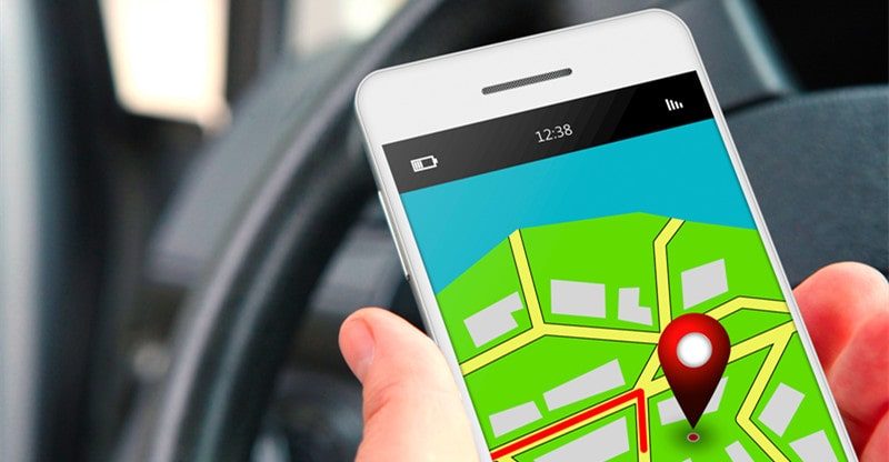
A drive time polygon analyses road networks to draw a radius around your starting location. This radius indicates how far you can drive within a set period of time.
Drive time polygons are useful for several reasons:
• They can show you where specific points on your map lie.
• They can demonstrate how far one map point is from another.
• They can tell you how many points on your map exist within various distance increments.
A polygon radius provides a more accurate depiction of what areas you can reach than a simple circle does. It also factors in variables such as illegal turns and one-roads. Rather than simply calculating a straight line distance, the polygon radius uses predicted travel times based on typical road conditions. This leads to more accurate results.
Additionally, you can calculate the distance to multiple locations at once so as to plan complex trips.
Use Cases for Drive Time Polygons
• Real Estate
As a real estate agent, you will need to take clients to visit multiple homes, often within the same day. To make the most of your time, you’ll want to order your home walkthroughs, so you waste as little time as possible on the road. A drive time polygon will show you how many homes you can visit and in which order you should visit them.
Additionally, it will show you if any homes fall outside your polygon radius. As a result, you may decide to visit said house on a different day.
• Salespersons
When planning sales calls, you’ll want to make the most of your time. This means making as many calls as possible in as short as time as possible. In other words, you’ll want to choose a location where you can make a lot of calls without having to spend too much time in the car.
Using a drive time polygon, you can see the number of calls you can make within a specific timeframe. Alternatively, if you want to only drive a certain distance, it can show you how many calls you can make.
• Delivery Managers
As a delivery manager, it’s your responsibility to assign routes to your drivers. Therefore, you’ll need to know how many deliveries can be made within a certain time frame. A drive time polygon will show you just that. In this way, you’ll be able to assign routes to drivers that make the most of their time. You can also choose different starting locations for each driver and create an efficient route for each stop.
• Trip Planners
Let’s say you’re planning a trip and you know that you’ll only be able to drive a certain distance or for a certain amount of time each day. A drive time polygon will show you where you’ll end up after driving a given distance or duration. This will then allow you to make plans for accommodations or visits to attractions.
• Business Owners
Business owners can benefit from using a drive time polygon in several ways. For starters, they can use it to see how many competitors are within a certain distance from their business location. Or, they can use it to determine how far their business is from their target customers.
Finally, business owners can use a drive time polygon to show where to look for new employees by considering reasonable travel time to their location.
Sarah Guerrero
A self-taught artist, Sarah loves anything that has a unique aesthetic appeal and everything from her home to her work desk carries a stamp of personal taste. When she’s not busy at her desk job, she loves to pen her thoughts down and often engages in creating mood boards inspired by nature, fashion, culture, and art.